Trestle Trail
Grizzly Flats, CA
|
08/20/21 Update -- The Trestle Trail is within the area burned by the Caldor Fire. Some of the information below may no longer be correct. The Trestle Trail is in the Eldorado National Forest east of the community of Grizzly Flats. It is approximately 1.3 miles long. It follows an abandoned logging railway, and passes three collapsed trestles (wooden railroad bridges) that were part of the Diamond and Caldor Railway. This hike is extended by including 0.9 miles on forest roads that lead to the trailhead. The beginning of this hike route is 350 feet higher than the end. However, the elevation change is gradual; there are no steep climbs. | ||||||
|
| ||||||
|
Meet at the Ace Hardware parking lot in Pleasant Valley (38.682767, -120.662654) prior to the scheduled departure time.
The address is 4570 Pleasant Valley Rd, Placerville, CA 95667. It is on the southwest corner
of Pleasant Valley Road and Mt. Aukum Road (Country Rd. E16).
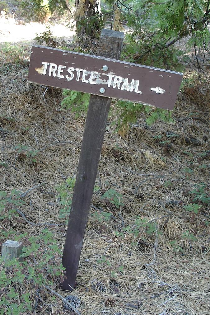
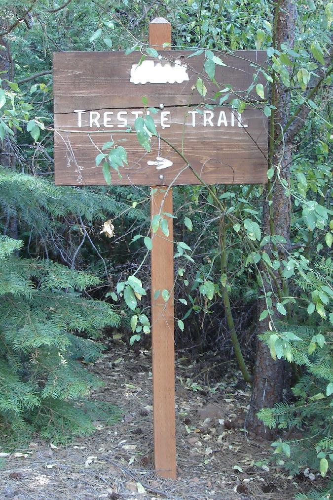
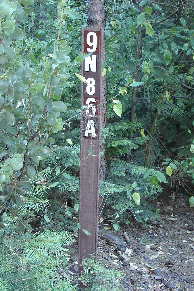
Walk 0.6 miles on 9N86 (to 38.627231, -120.475906), then bear right through the iron gate onto Forest Road 9N86A. (9N86A is also called Rail Grade). This is point "B" on the map below. You will see these two signs here:
Walk 0.3 miles on 9N86A to the trailhead (at 38.627972, -120.480508). This is point "C" on the map below. Bear left onto the trail. You will see this sign here:
Walk 1.3 miles on the Trestle Trail until you reach the end (at 38.617066, -120.467258). This is point "D" on the map below. The trail actually continues to the Steely Fork Consumnes River stream, which may or may not contain water. Shortly before you reach the end of the trail, you will see this sign:
Turn around and return to the cars the same way you came. Total distance walked is 4.4 miles. | ||||||
| ||||||
|
Grizzly Flats Weather Forecast |


